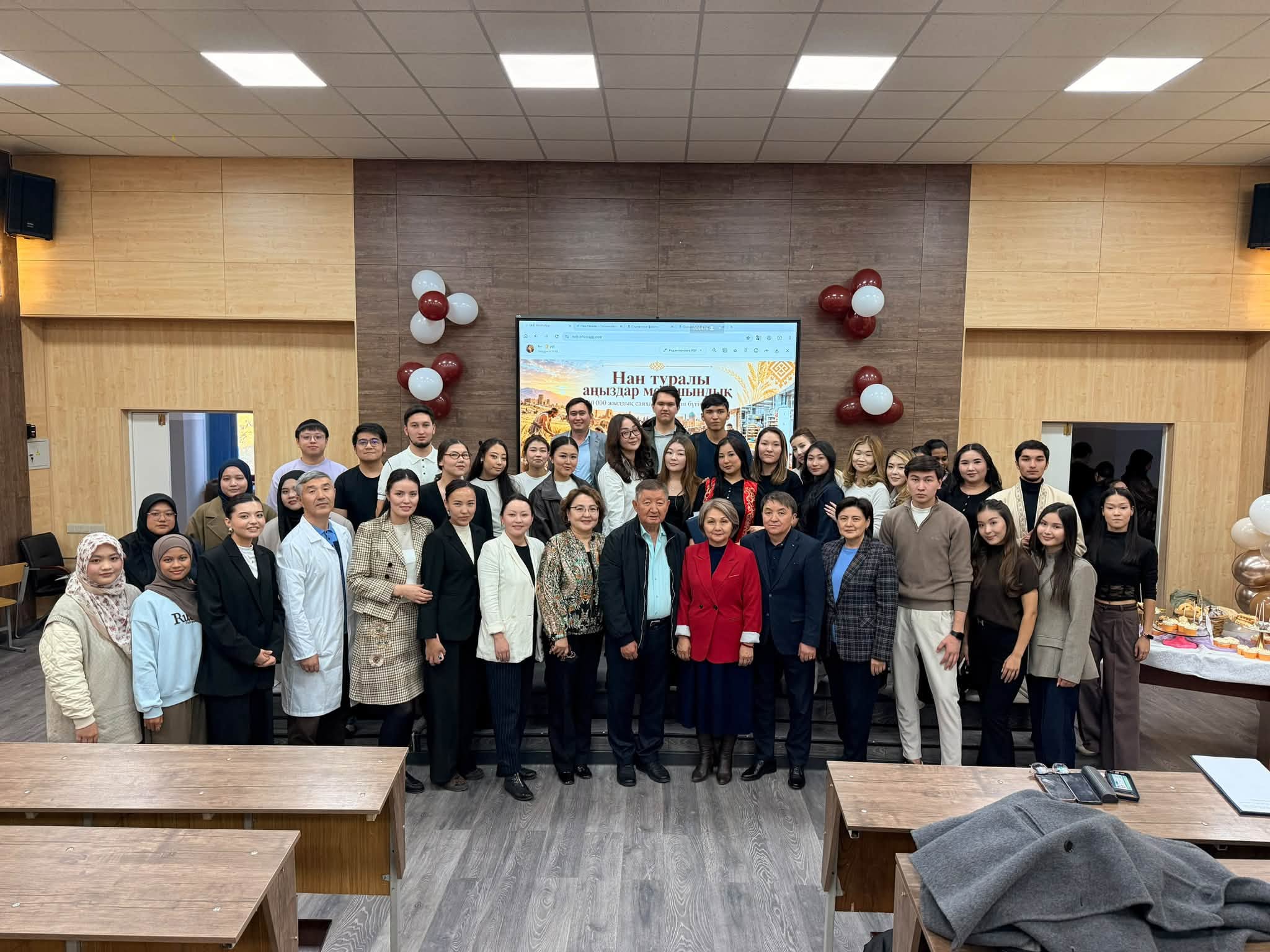
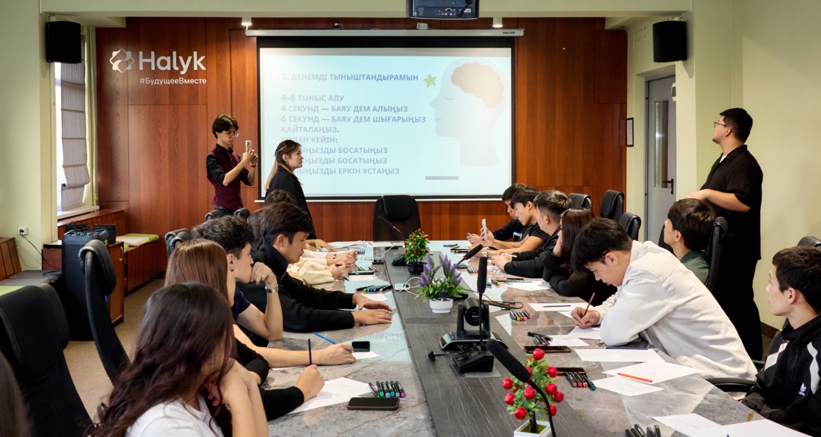
Fourth-Year Students of the “Land Management” and “Cadastre” Educational Programs Undertake Professional Internships
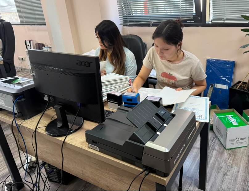
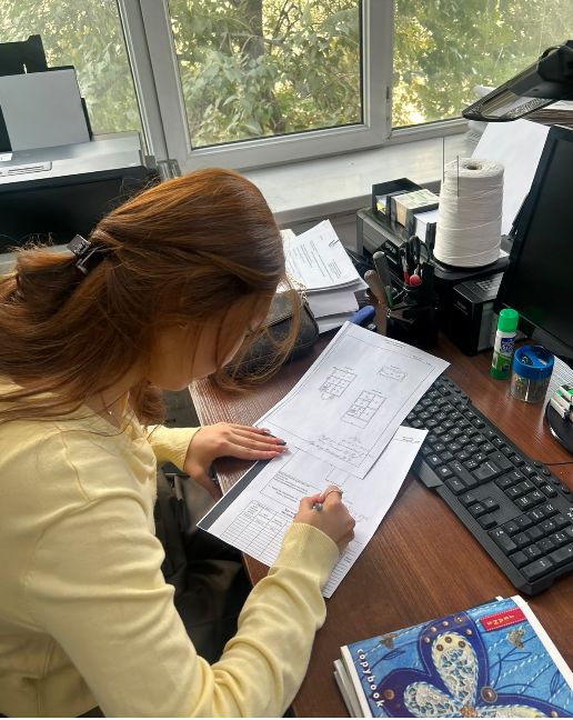
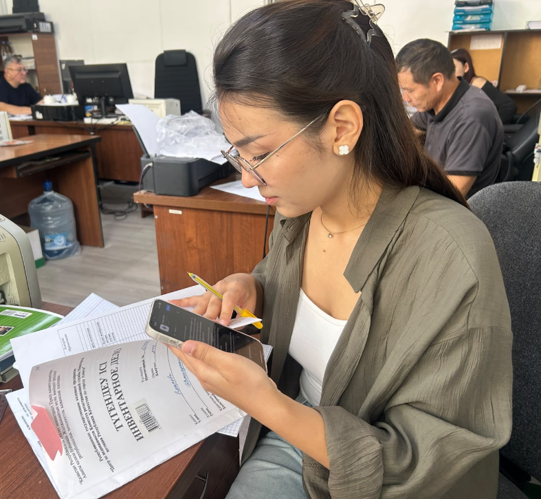
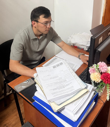
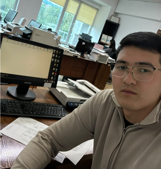
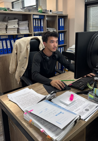
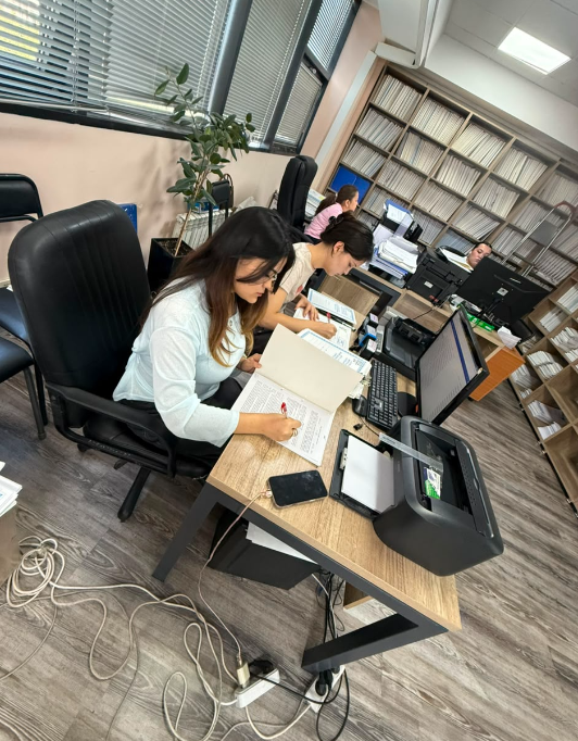
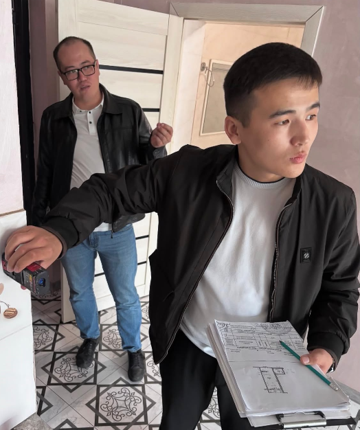
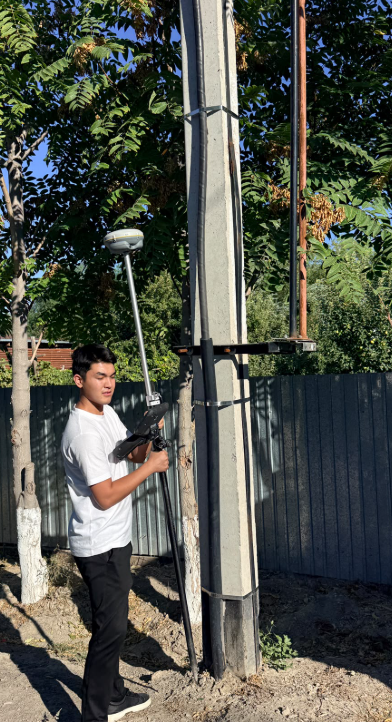

The internship of fourth-year students enrolled in the “Land Management” and “Cadastre” educational programs is an important component of their professional training. The internship is aimed at consolidating theoretical knowledge acquired during their studies, developing practical skills, and forming professional competencies in the fields of land relations, land management, cadastre, and land resource management.
Students of the Department of Land Resources and Cadastre undertake their internships at the Government for Citizens State Corporation and at organizations and enterprises operating in the fields of land management, land cadastre, geodesy, cartography, state registration of rights to real estate, land monitoring, geoinformation technologies, and land resource management.
During the internship, students become familiar with the structure of specialized enterprises and organizations, their functions, and the organization of their activities. They consolidate their knowledge of land management and cadastral procedures, acquire practical skills in working with land and cadastral documentation, and master modern geoinformation technologies and software products used in the fields of land management and cadastre.
In addition, students develop practical skills in working with digital cartographic materials and spatial data, explore the application of Earth remote sensing technologies, and learn how these technologies can be used for land resource monitoring. Particular attention is given to gaining professional experience in the preparation of technical, graphical, and analytical documentation.
The internship of fourth-year students of the “Land Management” and “Cadastre” educational programs contributes to the development of practice-oriented professional competencies and establishes a direct connection between the educational process and the current requirements of professional activities.
The knowledge and skills acquired during the internship contribute to the graduates’ further professional development and prepare them for employment in the fields of land relations, land management, cadastre, geoinformation technologies, land monitoring, and land resource management.
Special attention during the organization of the internship is given to digitalization of the industry, the use of geographic information systems (GIS), Earth remote sensing technologies, spatial analysis methods, and modern information technologies. These areas correspond to the current requirements for training competitive specialists in land management and cadastre who possess modern digital competencies.
.jpeg)